

Photo courtesy of Wendy Mitman Clarke
It’s been a minute since I’ve done any serious voyage planning. Even saying that is sort of sad, but I’ve been filling my sailing days lately with short trips in familiar waters for which the only planning needed has been what’s the weather look like, and do we have enough food, water, rum, and wine (not necessarily in that order).
However, my husband, Johnny, and I have started scheming with our friend, Paul, about a possible trip in and around Nova Scotia’s Cape Breton and Newfoundland this summer, and there’s nothing about sailing up there that’s simple. Between fog, tidal bores, and rocks and ledges that go by the perfectly eponymous name “sunkers,” it’s a place that requires thorough prep work.
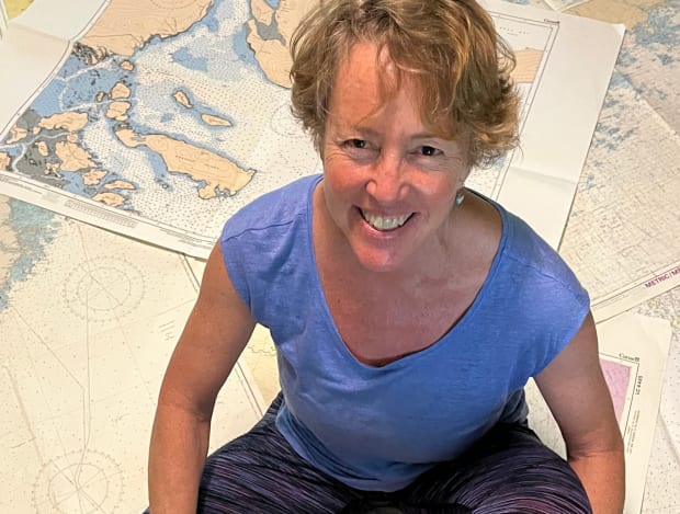
We started reading the pertinent cruising guides, and Johnny pulled out the iPad with a navigation app to evaluate distances. But it wasn’t long before I was hauling out a small mountain of paper charts and spreading them all over the floor. Our Australian-built Adams 45, Osprey, had a massive chart drawer under the master cabin bunk, and these treasures conveyed when we bought her to go full-time cruising.
Short of sailing to Antarctica, I’m pretty certain we could go most places in the world with them. There are massive Pacific planning charts that stretch from Hawaii to New Guinea and New Zealand. We have Jamaica, the Pedro Bank, all of the West Indies and Caribbean, the Gulf of Saint Lawrence, the Gulf of Maine to the Strait of Belle Isle (including the Grand Banks and Flemish Cap, were we so inclined to visit).
We have the entire North Atlantic from the Bay of Biscay to Chesapeake Bay and Norway to Georgia, the Azores, Canary Islands, and Bermuda. We have charts in French for Tenerife labeled “Service Hydrographique de la Marine, Paris, 1888” (one of her owners was a Frenchman, whom I suspect also left onboard the stainless steel French press, cast iron grill pan, and some lovely cutting boards).
There also are charts we added when we were cruising, including my favorite, Isla de Providencia—a Colombian island off the Nicaraguan coast—which a fellow cruiser gave us on his way north after spending years in the tropics. We were headed to Panama from Honduras, and the chart, which still carries his navigation notes and positions, was among others he didn’t need anymore.
When our weather window south started closing, that chart proved invaluable for guiding us into that memorable island’s harbor. I think I like it best because it says right up front, “From British Survey in 1853” and conveys information in elegant cursive, including “foul ground,” “dark patches,” and “always breaks.” Rendered in black and white like an etching, with the island’s topography shown in varying shades of grey, it’s a work of art and history. You feel like Captain Jack Aubrey every time you hold a magnifier over it and let your imagination run.
And what is voyage planning if not an act of the imagination? When we sold Osprey (to our friend Paul, with whom we’re sailing this summer), I couldn’t let go of the charts. Some of them I hung on the walls of my new land-bound office, and visitors would immediately be drawn to them. When I pointed to places we had sailed, they were awed, and I felt a comforting sense of home as my fingers traced lines over the rough paper.
Paul has kitted Osprey with all the latest and greatest in nav tech, so I know we won’t really need the paper charts this summer, although we’ll still carry them as backups. No matter. They may not be required for navigating, but I’ll always need them for dreaming.
April 2023


